


Back
BUSINESS > CONFERENCE & BUSINESS EVENTS >

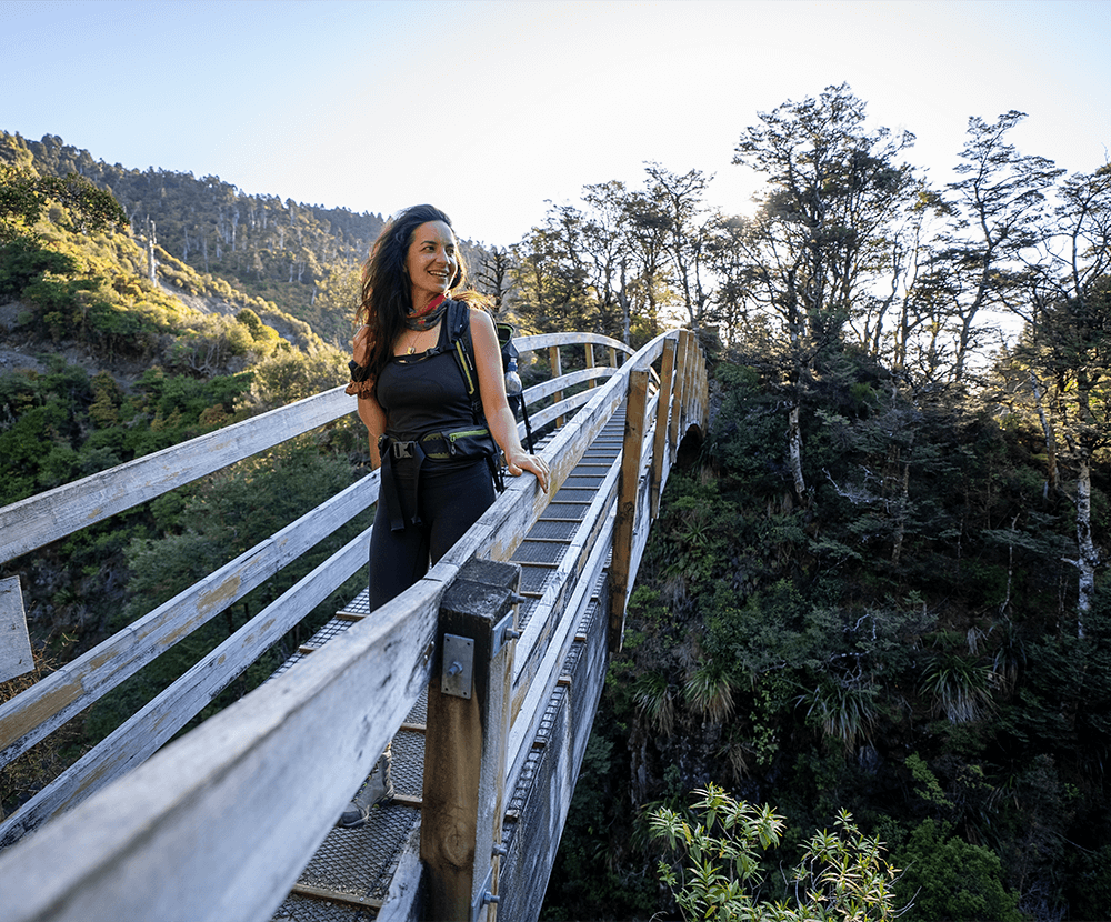
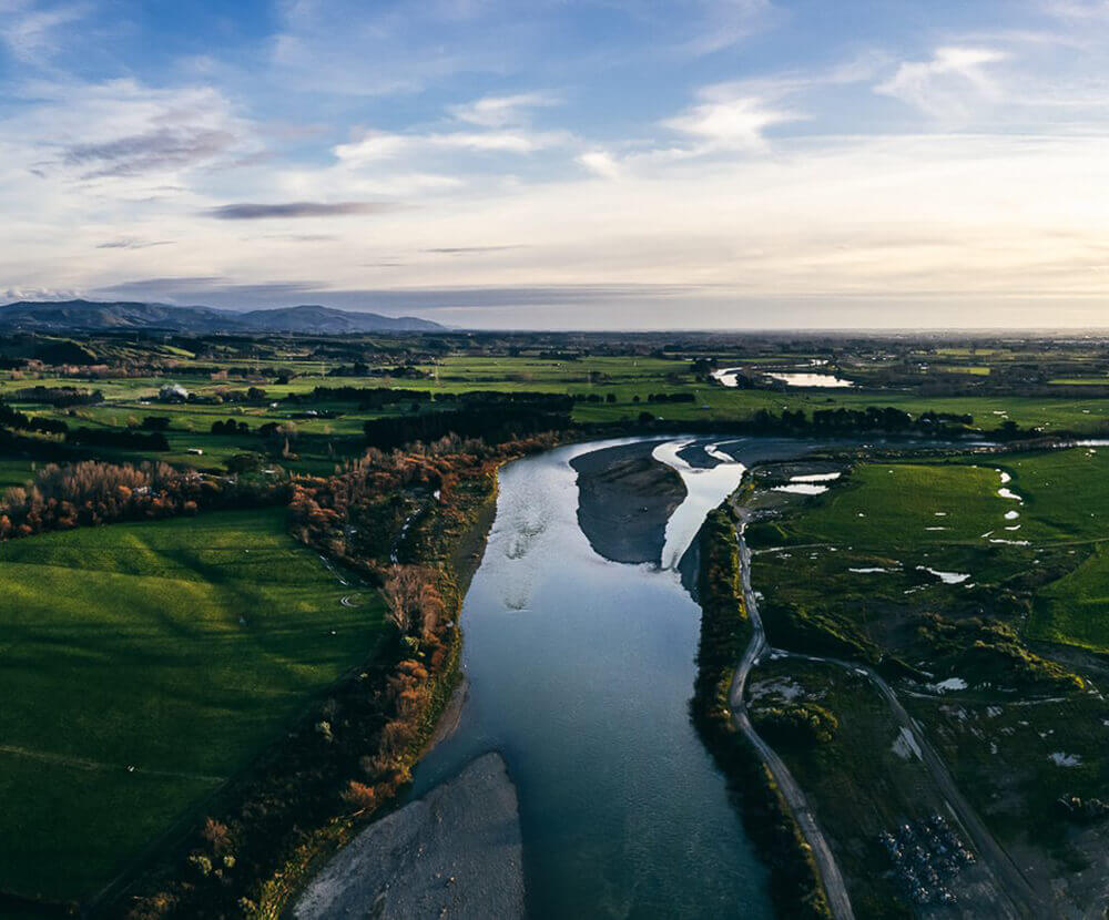
The start of this ride is also part of the Manawatū Cycleway on The Country Road. The views are spectacular, and there are plenty of good spots to stop off at along the way to soak in the vistas.
The Route
Starting from Mangaweka Campgrounds, cross the Mangaweka Bridge over the Rangitīkei River and continue south on Ruahine Road for 17km, before turning right onto Rangiwahia Road.
1.5km down this road you'll find the settlement of Rangiwahia. There are toilets here, and a campground (but no shops).
Continue through Rangiwahia, and at the historic Pemberton corner, turn right onto Mangamako Road.
From here the route is primarily a descent towards Sandon Block Road, which is to your right at the end of Mangamako Road. Sandon Block Road is gravel, and winds its way up and down through farmland with bush views of the Rangitikei River in the distance.
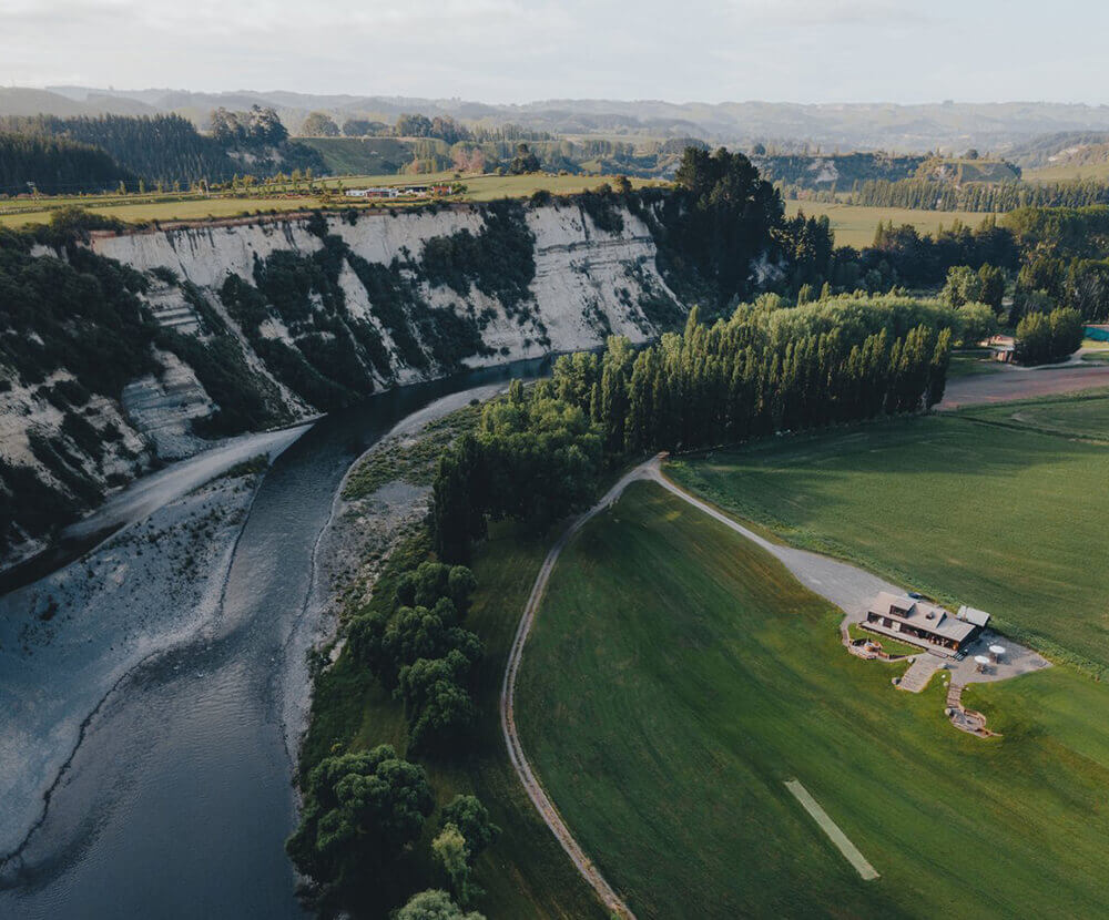
At the end of this road, you'll reach State Highway 54 on Cheltenham - Hunterville Road. Turn right, and you'll come to the entrance of Vinegar Hill Domain, marking the end of the trail. The domain is a beautiful place to take a swim, and camp out for the night.
Local Tip
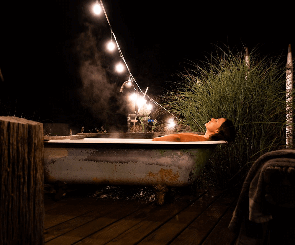
The Ruahine Dress Circle Scenic Reserve is a must-do, and is located on Lagoon Road (gravel road), which is off Kelpie Road. It's great for a quick swim!


CEDA
Level 1, 5 Broadway Avenue,
Palmerston North 4410
+64 6 350 1830
[email protected]
CEDA.nz
Palmerston North City i-SITE
The Square, Palmerston North
0800 MANAWATU
(626 292)
[email protected]
ManawatuNZ.co.nz/isite
Feilding and District
Information Centre
Te Āhura Mōwai
64 Stafford Street
+64 6 323 3318
[email protected]
ManawatuNZ.co.nz/feilding

Tap on the  throughout our website to add an experience, accommodation, or event to ‘My Trip’, or explore directly from our interactive map. View Map >
You can drag and drop activities to reorder them. Try downloading so you can print or share your upcoming Manawatū itinerary


