


Back
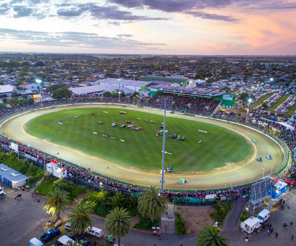
BUSINESS > CONFERENCE & BUSINESS EVENTS >
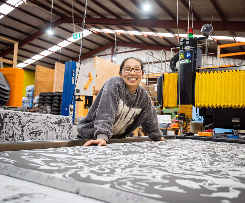
Manawatū offers a rare opportunity, both nationally and globally, to diversify its land and build more resilient farm systems, with the potential to strengthen the region's food production and boost economic returns for our farmers and landowners. As a grower, producer, or someone with an idea, these tools are here to help you take your next step.
EXPLORE HELPFUL TOOLS
Building on the Manawatū Regional Food Strategy, this report highlights how diversifying farm systems can strengthen resilience and unlock new opportunities. It identifies five crops: garlic, green beans, fresh peas, sweetcorn, and kiwifruit, as strong contenders for the region’s soils and climate.
Led by the Central Economic Development Agency (CEDA), the Land Diversification project aims to empower Manawatū farmers to tackle economic challenges, future proof their farm systems and improve productivity through alternative cropping and rotations.
This Land Diversification initiative features an informative report as well as an interactive Crop Suitability Map, offering farmers innovative land use options to consider as part of their planning processes. These tools can be used to inform practical alternatives for diversifying farm operations, mitigating income risk, and fostering sustainable farming practices.
A collection of Grower Guides have also been developed by CEDA. Designed with the grower in mind, these guides dive into the detail required to make investment decisions around land diversification including providing practical steps to planting and harvesting through to indicative yields and commercial considerations.
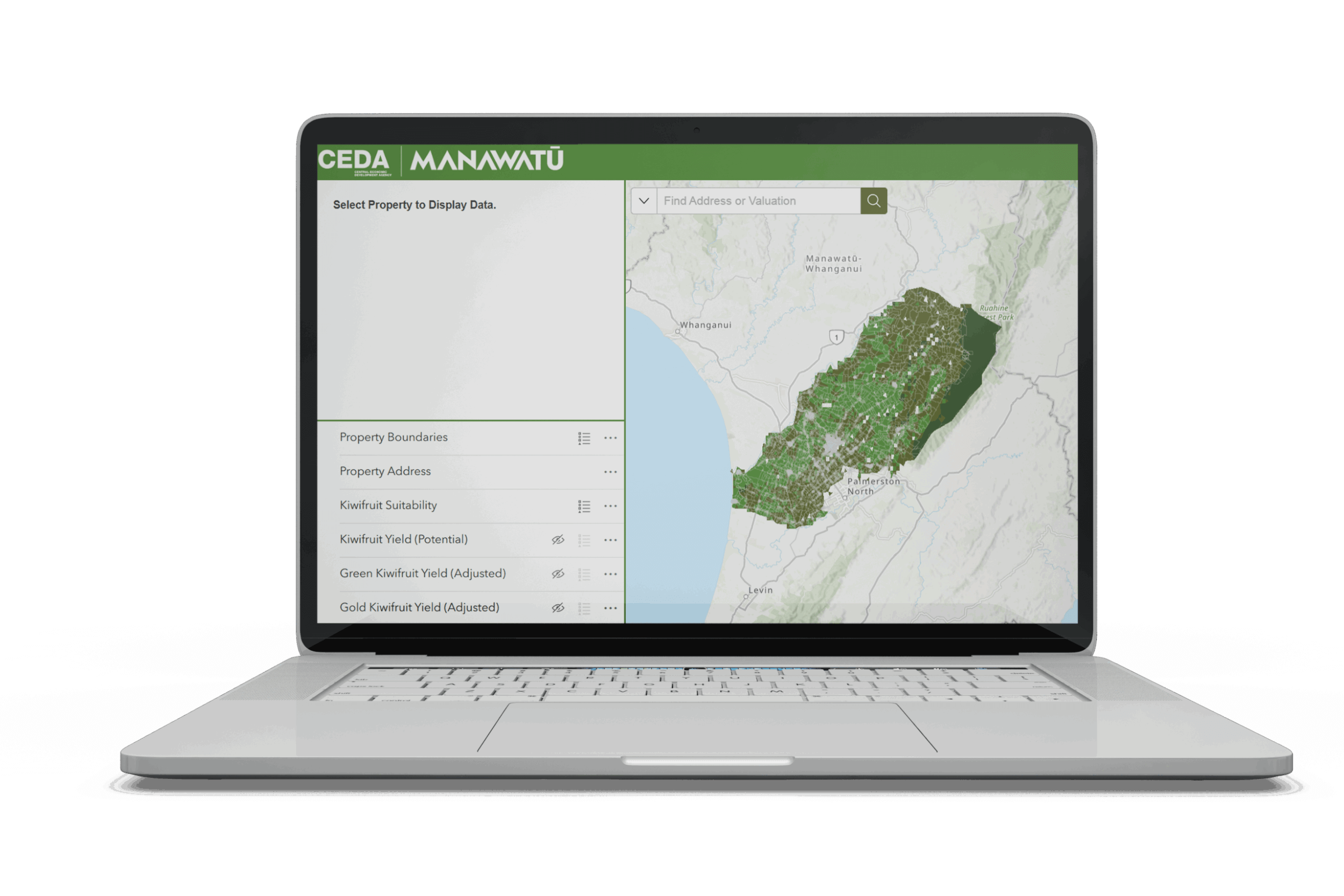
Please note: For the best experience this map tool is best viewed on a desktop computer. Users may experience slower online speeds when using the map tool due to its size and data requirements.

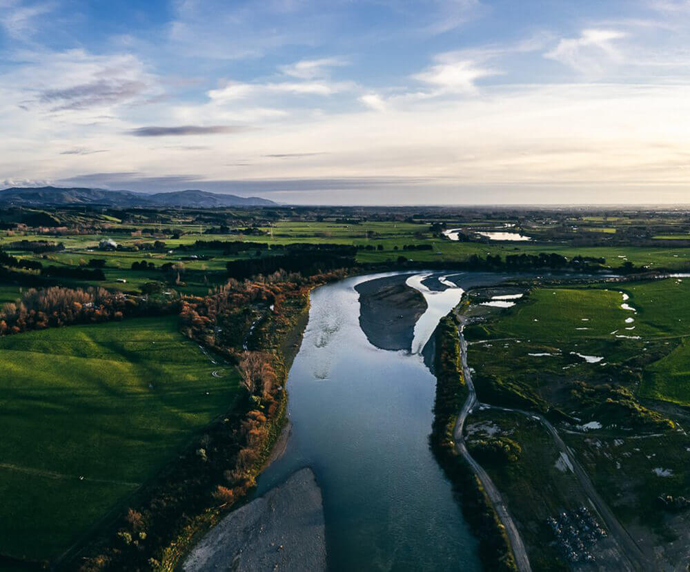
At first glance, Stu and Jules Bradbury’s property near Colyton looks like any other rolling piece of rural Manawatū. But spend a few minutes with the couple, and it quickly becomes clear that this isn’t your average lifestyle block.

Explore our comprehensive Grower Guides and unlock the potential of your land in Manawatū. Discover practical insights for 10 high value crops, from apples to blueberries, truffles and wheat.
Building on the Manawatū Regional Food Strategy, this report highlights how diversifying farm systems can strengthen resilience and unlock new opportunities. It identifies five crops: garlic, green beans, fresh peas, sweetcorn, and kiwifruit, as strong contenders for the region’s soils and climate.

GARLIC

SWEETCORN

GREEN BEANS

KIWIFRUIT

GREEN PEAS

To use the map tool, you can search by address or valuation number. The map will zoom in on your address, you will then be required to click the map within your property boundaries. As a result more detailed information will appear on the left-hand side. This includes multiple layers that can be toggled on or off for your convenience. As you select different crops via the tabs at the bottom of the screen, your address will remain selected.


CEDA
Level 1, 5 Broadway Avenue,
Palmerston North 4410
+64 6 350 1830
[email protected]
CEDA.nz
Palmerston North City i-SITE
The Square, Palmerston North
0800 MANAWATU
(626 292)
[email protected]
ManawatuNZ.co.nz/isite
Feilding and District
Information Centre
Te Āhura Mōwai
64 Stafford Street
+64 6 323 3318
[email protected]
ManawatuNZ.co.nz/feilding

Tap on the  throughout our website to add an experience, accommodation, or event to ‘My Trip’, or explore directly from our interactive map. View Map >
You can drag and drop activities to reorder them. Try downloading so you can print or share your upcoming Manawatū itinerary